Canada Winter Forecast 2026–2027: Snow, Cold & Regional Outlook
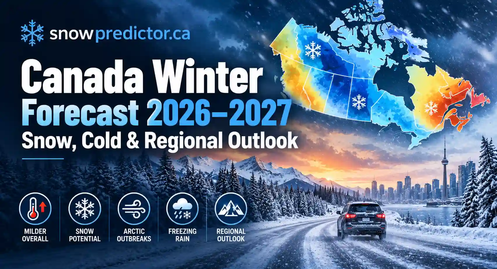
The Canada winter forecast 2026 2027 currently points toward a winter that may be milder than normal overall across much of the country, but that does not mean a snow-free or storm-free season.
A very strong El Niño is developing in the tropical Pacific, and Canadian seasonal models favour above-normal average temperatures across large parts of the country. At the same time, individual Arctic outbreaks, freezing-rain events, snowstorms, lake-effect snow and major coastal systems can still interrupt an otherwise mild seasonal pattern.
The biggest uncertainty is snowfall.
Temperature signals are relatively strong. Seasonal precipitation and snowfall forecasts are less reliable and differ considerably between forecasting systems. Farmers’ Almanac expects frequent snow and ice in Ontario and Arctic cold episodes across the Prairies, while October ECMWF analysis highlighted by Severe Weather Europe leans toward a warmer southern Canada overall with reduced seasonal snowfall across some areas.
For families concerned about an approaching storm rather than the entire winter, the Canada Snow Day Predictor is more useful than a months-ahead seasonal outlook because school closures depend on the actual snowfall, ice, wind and road conditions close to the event.
Canada Winter Forecast 2026–2027 at a Glance
| Region | Current Broad Signal | Main Winter Risks |
|---|---|---|
| British Columbia Coast | Milder overall | Rain, wind, coastal storms, occasional low-elevation snow |
| Interior BC & Mountains | Mild seasonal tendency | Mountain snow, changing snowpack, pass conditions |
| Alberta | Milder seasonal average | Arctic cold outbreaks, rapid temperature swings, snow and blowing snow |
| Saskatchewan & Manitoba | Milder overall | Periodic severe cold, wind, drifting and dry periods |
| Ontario | Milder seasonal mean | Snowstorms, lake-effect snow, freezing rain, freeze-thaw events |
| Toronto / GTA | Milder overall | Mixed precipitation, freezing rain, occasional major snowstorms |
| Quebec | Milder average temperatures | Snow, mixed precipitation and major winter storms |
| Atlantic Canada | Milder overall | Coastal storms, rain-snow transitions, wind and ice |
| Northern Canada | Regionally variable | Extreme cold remains possible despite a warmer seasonal mean |
Environment and Climate Change Canada’s October 1 forecasts favour above-normal temperatures through the start of winter across major Canadian cities. Its January-March 2027 outlook also shows above-normal temperatures as the most likely category across much of Canada.
That is a seasonal average, not a promise that every week will be mild.
What Is Driving the Winter 2026–2027 Forecast?
A Very Strong El Niño Is the Main Climate Signal
The most important large-scale driver heading into winter is El Niño.
NOAA’s September 10 ENSO discussion said El Niño was strengthening and placed the probability of a very strong event above 90% for fall and winter 2026–27. NOAA also gave a 75% probability that the October-December event could reach a level exceeding previous events in its historical record under the RONI measure. NOAA
Canadian climate scientists have reached a similar broad conclusion.
The Canadian Centre for Climate Services reported that global forecasting centres were in strong agreement on a very strong El Niño, with ECCC’s CanSIPS system indicating the event could become exceptional by late 2026.
What Does El Niño Usually Mean for Canada?
El Niño does not affect every province in exactly the same way.
Historically, it tends to favour milder winters and reduced snowfall across western, northwestern and central Canada. Very strong El Niño winters have also tended to shift the strongest winter warming eastward into parts of Ontario and Quebec.
However, averages can hide disruptive events.
A milder winter can still produce:
- Short Arctic outbreaks
- Heavy snowstorms
- Freezing rain
- Flash freezes
- Lake-effect snow
- Coastal storms
- Rapid temperature swings
Very strong El Niño winters have previously coincided with major Canadian weather impacts, including freezing rain in Ontario and Quebec.
Is 2026–2027 a La Niña Winter?
No. Current searches for a La Niña winter forecast relate to the opposite ENSO phase.
The 2026–2027 winter is currently developing under El Niño, not La Niña. NOAA declared El Niño conditions earlier in 2026 and expects them to remain influential through the Northern Hemisphere winter.
That distinction matters because the typical Canadian winter response to El Niño differs substantially from a La Niña pattern.
What Does Environment Canada Forecast for Winter 2026–2027?
Environment and Climate Change Canada uses the Canadian Seasonal to Inter-annual Prediction System, or CanSIPS, to produce probabilistic forecasts.
These forecasts do not say that a location “will” have a particular temperature. They estimate whether the seasonal average is more likely to fall above normal, near normal or below normal.
The October 1 outlook for October through December already showed an above-normal temperature preference across every major city in its summary table. Toronto had a 74% probability of above-normal temperatures, Montreal 83%, Winnipeg 86%, Vancouver 80%, Calgary 63% and Edmonton 64%.
The January-March 2027 forecast continues that warm seasonal signal. Toronto was placed in the above-normal category with a 70-79% probability, Winnipeg with 80-89%, Vancouver with 90-100%, Calgary with 80-89% and Montreal with 80-89%. Forecast skill varies significantly by location, so the probabilities should always be interpreted together with the published skill rating.
Snowfall Is Harder to Forecast Than Temperature
This is where many winter prediction articles become too confident.
Environment Canada notes that seasonal precipitation forecasts generally have less skill than temperature forecasts. A warmer-than-normal forecast also does not tell us whether a specific storm will produce rain, snow or freezing rain. Environment Canada
For the winter of 2026–2027, it is therefore much safer to talk about snow opportunities and regional risk rather than promise exact seasonal snowfall totals months in advance.
Farmers’ Almanac Winter 2026–2027 Prediction for Canada
The Farmers’ Almanac takes a much more storm-focused view of the upcoming winter.
Its current Canadian forecast describes the season as one of “Snow, Sleet, and Surprises” and predicts strong regional contrasts rather than one continuous nationwide deep freeze.
Its regional outlook includes:
- Rain and wind along coastal British Columbia
- Mountain snow farther inland
- Periodic Arctic cold and blizzards across the Prairies
- Frequent snow, lake-effect snow and ice in Ontario
- Colder and snowier periods in Quebec and Labrador
- Snow, freezing rain and rain from Atlantic coastal storms
- Continued severe winter weather across northern Canada
These predictions should not be treated as equivalent to Environment Canada’s model-based seasonal forecasts.
They are useful for understanding one widely searched long-range outlook, but Canadians making weather-sensitive decisions should prioritize ECCC forecasts and shorter-range updates as winter approaches.
Old Farmer’s Almanac Winter Forecast
The Old Farmer’s Almanac is a different publication from the Farmers’ Almanac, and their winter forecasts are not identical.
Its 2026–2027 Canadian forecast calls for a split winter, with much of southern Canada near or above normal in temperature but colder conditions forecast in southeastern Ontario and parts of central Canada. It also forecasts above-normal snowfall across Atlantic Canada, southern Quebec, southern Ontario and a corridor from the northwestern Prairies into British Columbia.
This disagreement is useful.
It demonstrates why one long-range source should not be treated as certainty.
Canada Winter Forecast 2026–2027 Ontario
Ontario has one of the most complicated forecasts because a milder seasonal average does not automatically mean less disruptive winter weather.
ECCC currently favours above-normal January-March temperatures across Ontario, including Toronto. But Ontario can still experience several major winter hazards.
Lake-Effect Snow
Cold northwest winds crossing the Great Lakes can still create narrow bands of intense snow around Georgian Bay, Lake Huron and other snowbelt areas.
One community can receive substantial accumulation while another relatively nearby gets very little.
Freezing Rain and Freeze-Thaw Cycles
A milder winter can actually increase the importance of the 0°C boundary.
When temperatures repeatedly cross freezing, southern Ontario may shift between snow, rain, freezing rain, slush and flash freezing.
The Canadian Centre for Climate Services notes that warmer El Niño winters in central Canada can increase the proportion of precipitation falling as rain and can still be punctuated by freezing-rain events and other extremes.
How Much Snow Will Ontario Get?
That is much less certain.
Farmers’ Almanac forecasts frequent snow and lake-effect activity, while the Old Farmer’s Almanac also expects southern Ontario to be snowier than normal.
By contrast, current climate-model guidance supports a broader mild El Niño pattern, and October ECMWF analysis suggests reduced snowfall across parts of southern Canada overall.
The most defensible Ontario forecast right now is therefore:
milder overall, but with meaningful risks from lake-effect snow, mixed precipitation, freezing rain and individual major snowstorms.
Families can use the Ontario Snow Day Predictor when actual winter systems move into the province.
Canada Winter Forecast 2026–2027 Toronto
Toronto is currently more likely to experience a milder-than-normal seasonal temperature average than a colder-than-normal winter.
Environment Canada’s January-March 2027 outlook gives Toronto a 70-79% probability of above-normal temperatures, with the published forecast showing meaningful historical skill for the location.
That does not mean Toronto will avoid snow.
A strong winter storm can still deliver significant accumulation even during a warm seasonal pattern. Toronto may also spend more time close to the rain-snow boundary, increasing the possibility of storms involving snow followed by rain, freezing rain or rapid refreezing.
The practical takeaway is that Toronto may have fewer continuously cold periods without necessarily having an uneventful winter.
For a specific storm, the Toronto Snow Day Predictor provides school-disruption context based on short-range conditions.
Canada Winter Forecast 2026–2027 Alberta
Alberta is another region where seasonal averages can be misleading.
Environment Canada’s current outlook favours above-normal temperatures for Calgary and Edmonton into the heart of winter. Calgary’s January-March probability for above-normal temperatures is 80-89%, while Edmonton is in the 70-79% range.
The broader El Niño pattern also tends to favour warmer and drier conditions in western Canada, with reduced mountain snowfall and snowpack among the risks identified by Canadian climate scientists.
However, Alberta can still experience sharp temperature reversals.
Chinook warmth can be followed by Arctic air in a short period, while individual Alberta Clippers and frontal systems can produce snow, wind and blowing snow.
This explains why the Farmers’ Almanac prediction of periodic Arctic outbreaks and blizzards is not necessarily incompatible with an above-normal seasonal mean.
A winter can average mild and still contain several very cold weeks.
Saskatchewan and Manitoba Winter Forecast
Current seasonal modelling also leans warmer than normal across the central Prairies.
Environment Canada’s January-March forecast gives Winnipeg an 80-89% probability of above-normal temperatures, with Regina and Saskatoon also placed in the above-normal category.
El Niño historically tends to support warmer and drier conditions across western and central Canada.
That raises concerns beyond winter recreation. Lower snowpack and reduced winter and spring precipitation can affect spring runoff, soil moisture, drought and wildfire risk.
Strong winds and occasional Arctic intrusions can still create dangerous blowing snow even if total seasonal snowfall is not exceptional.
British Columbia Winter Forecast 2026–2027
British Columbia may show one of the clearest El Niño signatures.
Vancouver currently has a strong above-normal temperature signal for January-March, while Canadian climate research associates strong El Niño winters with warmer and often drier conditions across western Canada.
Vancouver and the Coast
Expect rain to remain the dominant winter precipitation at low elevation.
Mild does not mean calm. Pacific systems can still produce heavy rain, strong winds, flooding concerns and occasional low-elevation snow when colder continental air reaches the coast.
Interior and Mountain BC
Higher elevations can still receive substantial snowfall from individual Pacific storms.
The larger concern is whether total winter precipitation and snowpack finish below normal. Canadian climate scientists specifically identify reduced mountain snowpack as a potential El Niño impact in western Canada.
Quebec Winter Forecast 2026–2027
Quebec is likely to be warmer than its historical winter average overall.
Environment Canada’s January-March forecast gives Montreal an 80-89% probability of above-normal temperatures, while several other Quebec locations show an even stronger warm-category probability.
Snow can still be substantial.
The Old Farmer’s Almanac expects southern Quebec to finish snowier than normal, and October ECMWF analysis also shows a more favourable snowfall signal over Quebec and Labrador than over many other parts of southern Canada.
Southern Quebec may also remain vulnerable to storms that move between snow, ice and rain.
Atlantic Canada Winter Forecast
The Atlantic provinces currently have a strong warm seasonal signal.
Environment Canada’s January-March forecast places Halifax and many other Atlantic locations in the above-normal temperature category.
Winter storms remain a major wildcard because the Atlantic provides abundant moisture.
Storm-track changes of only a relatively small distance can determine whether a community receives:
- Heavy snow
- Wet snow
- Freezing rain
- Sleet
- Ordinary rain
- Strong coastal winds
Canadian climate research also notes that El Niño can alter eastern winter storm patterns even during an overall mild season.
Will Canada Have a Cold Winter in 2026–2027?
Probably not when measured as a national seasonal average.
The best current science-based guidance favours above-normal mean temperatures across much of Canada.
But that answer needs an important qualifier:
above-normal does not mean warm every day.
Canada can still experience short periods of extreme cold when Arctic air moves south.
Seasonal forecasts describe the average over months. They cannot tell you whether Calgary will experience a -30°C week in January or whether Ontario will get a major cold snap in February.
Will Canada Get a Lot of Snow in Winter 2026–2027?
There is no reliable single national answer.
Snowfall needs both moisture and sufficiently cold air.
A very strong El Niño may reduce seasonal snowfall in parts of western and central Canada by raising temperatures and shifting storm tracks, but individual regions can behave very differently.
The areas worth watching most closely include:
- BC mountain elevations
- Great Lakes snowbelts
- Northern Ontario
- Southern and eastern Quebec
- Labrador
- Interior Atlantic Canada
- Northern and high-elevation regions
Current forecast disagreement is particularly large for southern Ontario, which is why claims of a guaranteed “huge snow winter” are premature.
What About the Polar Vortex?
The polar vortex winter forecast is another source of dramatic headlines.
The polar vortex is a large circulation of cold air high over the polar region. When it weakens or becomes disrupted, the jet stream can become more irregular and cold Arctic air may move farther south.
October ECMWF analysis highlighted by Severe Weather Europe shows a possible weakening signal around late December into mid-winter. However, the analysis itself stresses that this does not guarantee a sudden stratospheric warming or a Canadian cold outbreak.
At this range, the polar vortex should be treated as a wildcard, not the foundation of the forecast.
Winter 2026–2027 Month by Month
December 2026
The strong El Niño influence should be well established by December.
Current seasonal guidance supports a milder-than-normal background across much of Canada, although western mountain storms and early Arctic intrusions remain possible.
January 2027
January remains the heart of winter regardless of the seasonal anomaly.
The broader forecast continues to favour above-normal temperatures, but individual snowstorms, freezing rain and Arctic outbreaks remain entirely possible.
This is also when seasonal averages become less useful than seven-day and short-range forecasting for school, road and travel decisions.
February 2027
February carries additional uncertainty.
Some long-range model analysis shows a weaker polar vortex signal developing in mid-winter, which could increase the opportunity for colder outbreaks somewhere in the mid-latitudes. The exact location cannot be predicted confidently this far ahead.
March 2027
The January-March Environment Canada outlook still leans warmer than normal across much of Canada.
That does not rule out a late snowstorm.
March regularly produces major winter events in Canada even during winters that were mild overall.
What the 2026–2027 Forecast Means for Snow Days
A seasonal forecast cannot tell parents how many snow days their school board will have.
School closures depend on the exact combination of:
- Snowfall accumulation
- Freezing rain
- Storm timing
- Wind and blowing snow
- Visibility
- Road conditions
- Existing snow depth
- Local transportation routes
- Individual board policy
A province can finish winter warmer than normal and still have several disruptive school mornings.
SnowPredictor.ca’s How It Works explanation shows why short-range conditions and local school-board behaviour are more important for a closure prediction than a months-ahead seasonal outlook.
Which Forecast Should Canadians Trust?
For planning the entire winter, separate the sources by what they actually do.
Environment and Climate Change Canada / CanSIPS should be the starting point for science-based Canadian seasonal probabilities.
NOAA is particularly useful for tracking El Niño and other large-scale climate drivers.
ECMWF and other global seasonal models help compare evolving temperature, pressure and precipitation trends.
Farmers’ Almanac and Old Farmer’s Almanac are popular long-range prediction sources, but their forecasts can differ substantially from official model guidance and from each other.
For a storm happening in days rather than months, seasonal forecasts should move into the background. Current Environment Canada warnings, forecasts and local road and school-board information become much more important.
Bottom Line: What Should Canadians Expect This Winter?
The strongest evidence currently supports a milder-than-normal 2026–2027 winter across much of Canada, influenced by a very strong El Niño.
That does not mean a mild winter every day.
The season can still bring major snowstorms, Arctic cold outbreaks, freezing rain, lake-effect snow and coastal storms.
The regional pattern matters:
- Western Canada faces a significant mild and potentially dry signal.
- The Prairies can still see sharp Arctic outbreaks despite a warmer average.
- Ontario may have a mild overall winter but significant snow and ice events.
- Toronto is more likely to finish warmer than normal than colder.
- Quebec may remain favourable for significant snow events despite above-normal average temperatures.
- Atlantic Canada has substantial mixed-precipitation and coastal-storm uncertainty.
The biggest mistake is treating a seasonal forecast as a day-by-day prediction.
As winter approaches, confidence will improve and regional snowfall expectations will become clearer.
What Is the Canada Winter Forecast for 2026–2027?
What Are the 2026-2027 Winter Predictions for Canada?
The strongest science-based signal is for a milder overall winter. Western Canada also faces an increased risk of dry conditions and reduced snowpack, while storm and snowfall outcomes remain more uncertain in Ontario, Quebec and Atlantic Canada.
What Does Farmers’ Almanac Predict for Winter 2026–2027?
Farmers’ Almanac predicts a highly changeable Canadian winter, including wet coastal BC weather, mountain snow, periodic Arctic cold and blizzards across the Prairies, frequent snow and ice in Ontario, and snowier conditions in Quebec and Labrador.
Will Canada Have a Harsh Winter in 2026–2027?
A uniformly harsh nationwide winter is not the leading forecast. Seasonal temperatures are expected to average above normal across much of Canada, although individual periods of severe cold and major storms remain possible.
Will Ontario Get a Lot of Snow in Winter 2026–2027?
It is too early to confidently say Ontario will receive above-normal seasonal snowfall. Farmers’ Almanac and Old Farmer’s Almanac favour a snowier pattern, while climate-model guidance supports a broader mild El Niño signal. Snowbelts can still receive substantial lake-effect snow regardless of the provincial seasonal average.