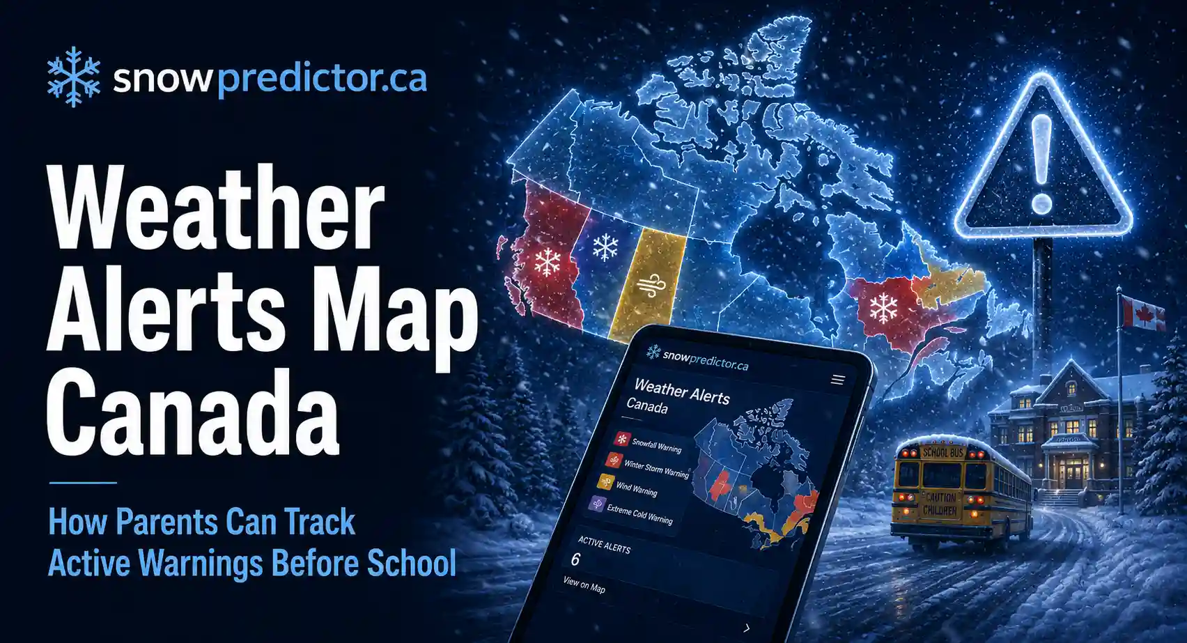
Weather Alerts Map Canada: How Parents Can Track Active Warnings Before School
Canadian parents check a forecast before school, but a temperature card may not show whether freezing rain, heavy snow, blowing snow or another hazard is affecting the route. The official weather alerts map Canada helps families see where active alerts are in effect, how serious they may be and whether hazardous conditions are moving toward their community. This guide explains how families should use it before school.
What the Official Map Shows
Environment and Climate Change Canada’s Weather Information map displays active warnings, advisories, watches and weather statements across the country. Parents can zoom into a location, select a coloured alert area and open the full message for its timing, affected region, impact level, forecast confidence and recommended actions.
The weather alerts map Canada uses colour, transparency and outlines to distinguish alert types. Solid areas show warnings or advisories, dotted transparent areas show watches, and grey areas show weather statements.
The map explains the hazard, but transportation providers and school boards publish bus and school decisions separately.
| Map Display | What It Generally Means |
|---|---|
| Solid yellow, orange or red | An active warning or advisory |
| Transparent colour with dotted outline | An active watch |
| Grey area | A weather statement |
| Yellow | Moderate, localised or shorter-term impacts |
| Orange | Major or widespread impacts |
| Red | Extreme and potentially life-threatening impacts |
Why Parents Should Check an Alert Map Before School
Winter hazards can be highly local. One part of a province may have a snow squall warning while a nearby city remains outside the affected zone. Freezing rain can affect rural roads before treated urban streets, and a narrow storm band may cross a bus route even when the family home receives lighter precipitation.
A Canada weather alerts map can help parents confirm:
- Whether the home, school and route are inside the same alert area
- Whether neighbouring regions have already been affected
- Which hazard and alert colour are active
- Whether more than one alert overlaps the route
- Whether radar shows precipitation approaching or moving away
This helps when children cross municipalities, forecast boundaries or long rural routes. Boundaries are forecast areas, not exact walls where weather stops.
How to Find Active Alerts
Open the federal Weather Information map and make sure the Alerts layer is enabled. If alert colours are not visible, open the Layers control and select the alert layer.
Then follow this sequence:
- Search for or zoom into the school region.
- Select the coloured area covering the location.
- Open the alert in the information panel.
- Read the full message rather than only the title.
- Check the issue time, start time, end time and named communities.
- Review expected impacts and recommended actions.
- Repeat the check for the home, school and important route sections.
The alert table can be searched by province, region or type. Refresh the weather alerts map Canada because alerts may be upgraded, expanded, downgraded or ended.
Understanding Warnings, Advisories, Watches and Statements
The alert type and colour answer different questions. The type indicates the purpose and urgency of the message. The colour indicates the level of potential impact and forecast confidence.
Warning
A warning means severe weather is occurring or expected. Follow the safety advice and reconsider unsafe travel.
Advisory
An advisory covers significant but generally less severe weather, including hazards that can cause poor visibility, slippery roads and delays.
Watch
A watch means severe weather could develop, but timing, location or intensity remains uncertain.
Special Weather Statement
A statement provides extra information about unusual or concerning weather. It is not a formal colour-coded alert.
The Canadian weather alerts guide explains these message types and colours in more detail.
Reading Yellow, Orange and Red Correctly
A yellow warning can be more immediate than an orange watch because a warning means the hazard is occurring or expected, while a watch means conditions favour its development. Orange still indicates a higher possible impact than yellow.
Parents should therefore read three things together:
- The alert type
- The alert colour
- The complete impact statement
Yellow can still make an exposed route unsafe. Orange may indicate wider disruption, while red is reserved for rare, extreme events. Read the weather alerts map Canada with timing, location and route exposure.
Which Winter Alerts Matter Most Before School
Families should pay close attention to alerts involving road traction, visibility, wind or rapid temperature change. These may include:
- Snow squall warnings
- Freezing rain warnings
- Freezing drizzle advisories
- Flash-freeze warnings
- Blowing-snow advisories
- Blizzard warnings
- Winter storm warnings
- High-wind warnings
- Special Weather Statements
A snowfall total does not tell the whole story. A short burst during the morning commute may create more disruption than deeper snow that ended overnight. Ice, drifting, low visibility and conditions expected near dismissal may be more important than accumulation.
How Radar Adds Useful Context
The official map can display radar together with alert areas. Radar shows observed precipitation and its recent movement, while an alert describes a current or forecast hazard.
Radar animation helps show whether snow or freezing rain is approaching, slowing or moving away.
Canada weather radar, weather radar Canada, Canadian weather radar and Environment Canada radar show where precipitation is occurring. The Canada weather radar map adds context but cannot confirm that a road, bridge or bus stop is safe.
Ground temperature, earlier precipitation and drifting may remain hazardous after radar returns pass.
Alert Map, Radar, Roads and School Notices Have Different Jobs
| Source | Main Question Answered |
|---|---|
| Weather warning map Canada | What official hazard is in effect here? |
| Radar | Where is observed precipitation moving? |
| Forecast | What conditions are expected over time? |
| Provincial or territorial road service | What road conditions or closures are reported? |
| Transportation provider | Is the child’s bus or route operating? |
| School board | Is the school open, delayed or closed? |
A clear radar image does not cancel a warning, and an active weather alerts map does not report route cancellations.
The weather app versus school-board notice guide explains which source should answer each part of a school-morning decision.
Check the Home, Route and School Separately
An alert boundary may cross the journey between home and school. The home may sit outside an alert while the school or an exposed section of the route lies inside it.
Check:
- The home neighbourhood
- The school location
- Bridges and open highways
- Rural roads and hills
- Every forecast region crossed during the trip
- Conditions expected for the return journey
The weather alerts map Canada shows forecast areas, but local conditions may differ near boundaries. Parents should combine the map with current observations and road information.
Why the Map Cannot Predict a Closure
Environment and Climate Change Canada issues alerts to explain weather hazards and likely impacts. It does not decide whether a school board closes buildings or whether a transportation provider cancels buses.
School systems may consider:
- Current and forecast road conditions
- Route checks and bus-operator reports
- Visibility and drifting
- Ice on sidewalks and school entrances
- Plowing and salting progress
- Building heat, power and water
- Conditions expected near dismissal
Districts under the same colour can decide differently because routes and operations differ.
The guide to how Canadian schools decide on snow days explains why local operations matter as much as the regional forecast.
A Reliable Order for Morning Checks
Open the Official Map
Check whether active weather warnings Canada cover the home, route or school. Confirm that the correct location is selected and the page has refreshed.
Read the Complete Alert
Review the hazard, colour, confidence, timing, affected communities, expected impacts and recommended actions.
Review Radar and the Local Forecast
Use the Canada weather radar map to see recent precipitation movement and determine whether conditions may improve or worsen before dismissal.
Check Road Information
Use the provincial or territorial service for surface reports, closures and cameras. In Ontario, families can review Ontario 511 for provincial highway conditions and incidents.
Check Transportation and School Notices
Confirm whether the child’s route, zone or full transportation system is affected. Then verify whether the school is open, delayed or closed.
Inspect the Immediate Area
Look for untreated ice, drifting snow, poor visibility, fallen branches, blocked drains or unsafe access to the stop.
This order prevents the weather alerts map Canada from being mistaken for a school operating notice.
Using Ontario Weather Warning Maps
Parents searching Ontario weather warnings today map should confirm that the result is current and covers the correct forecast region. Ontario is large, and northern, southern, urban and Great Lakes communities can face different hazards at the same time.
A weather warning map Canada result may show several colours across Ontario. Select the exact area and named communities. Road reports and transportation zones may be more specific than the weather boundary.
How WeatherCAN Helps Families Receive Updates
WeatherCAN is the federal weather app for Canadian locations. It provides alerts, current conditions, forecasts and interactive radar. Families can save both home and school locations rather than monitoring only the phone’s current position.
A notification should prompt parents to open the full alert, not treat it as a closure decision. Keep notifications enabled through dismissal.
A Five-Minute Before-School Checklist
Before children leave, confirm:
- The active weather alerts map has been refreshed
- The correct home and school locations were selected
- The alert has not changed type or colour
- The route was checked, not only the home
- Road and transportation notices were reviewed
- The school board confirmed its operating status
- A backup pickup or childcare plan is available
- The return journey has been considered
This routine supports school travel safety without overreacting to one colour.
Common Mistakes When Reading the Weather Alerts Map Canada
Do not rely only on an old screenshot, the home address or the alert colour. Read the complete message and check its issue time.
No colour does not guarantee safe roads. Radar shows precipitation, not complete road conditions, and a warning does not automatically close school.
Misspellings such as westher map and enviroment Canada radar should be corrected to weather map and Environment Canada radar.
How SnowPredictor.ca Supports School Closure Planning
Official weather maps show where hazards are active, but they do not estimate the chance of a school disruption.
The Canada Snow Day Predictor supports Canadian school closure planning with a location-based estimate. Families can compare that estimate with the weather alerts map Canada, road reports, transportation notices and board announcements while arranging childcare, work schedules or alternative transportation.
The federal weather service issues alerts, road services report travel conditions, transportation providers decide bus operations, and school boards decide building status. SnowPredictor.ca supports planning but is not a road-safety clearance or official closure notice.
Frequently Asked Questions
What Is the Best Weather Alerts Map for Canada?
The official Weather Information map from Environment and Climate Change Canada is the primary source for federal weather alerts. It displays warnings, advisories, watches, statements and radar layers. Parents should still check road, transportation and school-board sources separately.
How Can I See Active Weather Warnings in Canada?
Open the official map, enable the Alerts layer, search for the community and select the coloured area. Read the full message for the alert type, colour, timing, affected region, forecast confidence, impacts and recommended actions.
Does the Alert Map Predict School Closures?
No. It shows official weather hazards. Transportation providers decide whether buses operate, and school boards decide whether buildings open, delay or close. SnowPredictor.ca can support early planning, but official notices take priority.
What Do Yellow, Orange and Red Mean?
Yellow indicates moderate, localised or shorter-term impacts. Orange indicates a higher risk of major or widespread disruption. Red represents rare, extreme and potentially life-threatening impacts. The alert type and full message must be read with the colour.
Is Weather Radar the Same as an Alert Map?
No. Radar shows observed precipitation and its recent movement. An alert map shows areas covered by official warnings, advisories, watches or statements. Use both for context, then check roads, buses and schools before travel.