
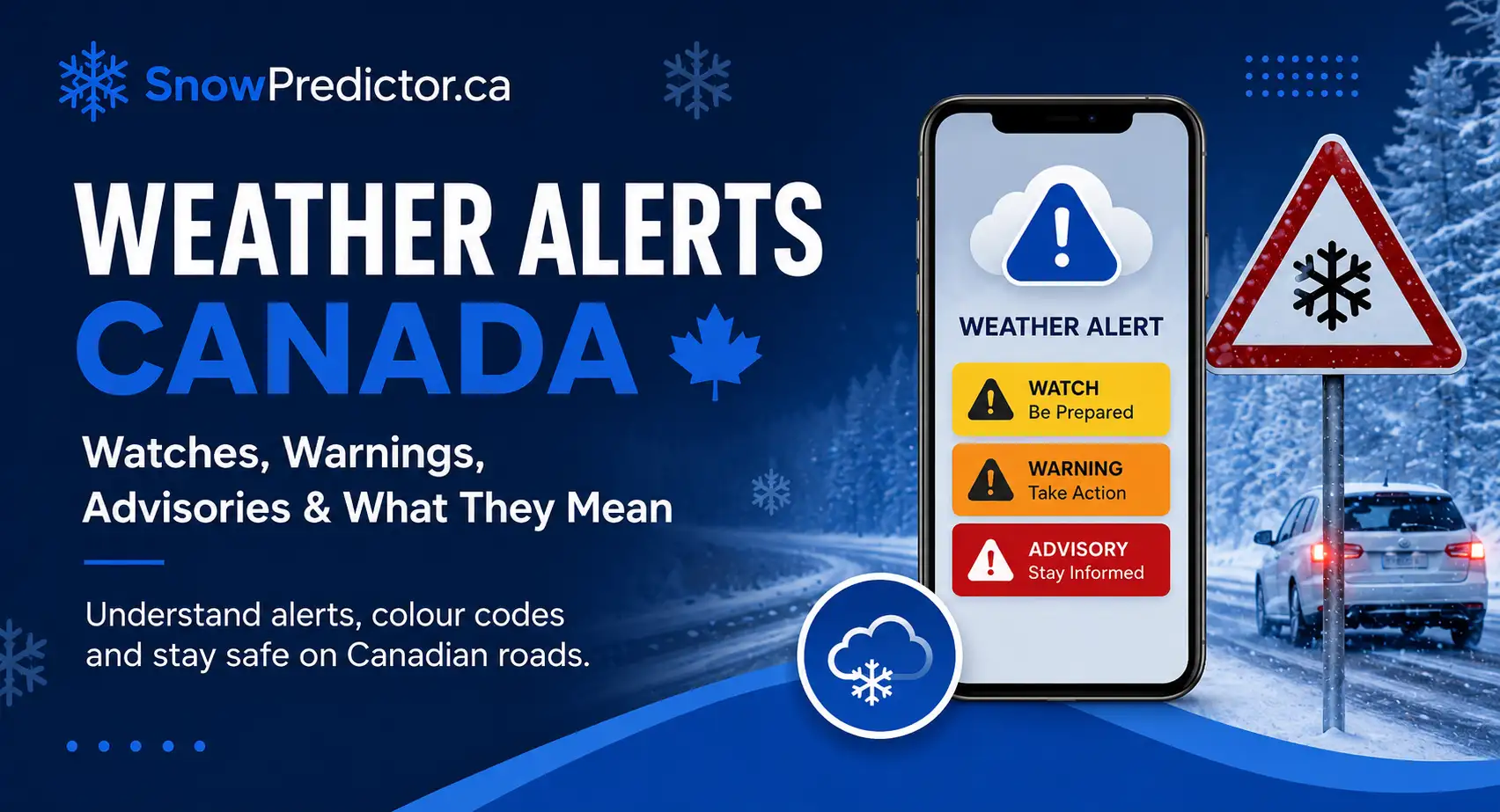
Weather Alerts Canada: Watches, Warnings, Advisories & What They Mean
For Canadian drivers, commuters, parents and school staff, fast-changing weather can turn an ordinary trip into a serious safety decision. Snow, freezing rain, fog or strong wind may be forecast, but the harder questions are whether roads will remain safe, school buses will run and classes could be disrupted. This weather alerts Canada guide explains how official notices work, what yellow, orange and red alerts mean, and what families should check before leaving home. SnowPredictor.ca adds school-day context by helping Canadians understand how winter conditions may affect transportation and closure risk.
Weather Alerts Canada: What Drivers and Parents Need to Know
Environment and Climate Change Canada issues three main public alert types: warnings, advisories and watches. These terms explain urgency and certainty, while the colour shows likely impact.
| Alert type | What it means | Practical response |
|---|---|---|
| Warning | Severe weather is occurring or expected | Act now, reconsider unnecessary travel and follow the instructions in the notice |
| Advisory | A significant hazard is occurring or expected but may not meet warning criteria | Take precautions and assess the risk on your route |
| Watch | Conditions favour the development of severe weather | Prepare, monitor updates and expect the situation to change |
A warning requires immediate attention, but an advisory should not be dismissed. Freezing drizzle, dense fog or blowing snow can make rural routes, bridges and untreated roads unsafe even when conditions do not reach warning criteria.
A Special Weather Statement is different. It gives additional information about unusual, developing or potentially disruptive conditions, but it is not a colour-coded official alert. Marine warnings, tropical cyclone statements and Air Quality Warnings are handled separately.
What Do Canada’s Colour-Coded Weather Alerts Mean?
Canada introduced its national colour-coded weather alert system on November 26, 2025. Warnings, advisories and watches can now appear as yellow, orange or red. The alert type tells you whether to prepare or act, while the colour shows how disruptive or dangerous the expected effects may become.
Yellow Weather Alert
Yellow indicates moderate, localised or short-term effects. It is the most common level, but it does not mean conditions are safe.
Examples include a yellow warning for rainfall, wind, snow squalls or freezing rain. A severe thunderstorm watch or winter storm watch may also carry a yellow colour. Fog, frost, blowing snow and freezing drizzle usually appear as yellow advisories.
A yellow notice may still bring slippery roads, reduced visibility, delayed buses, power interruptions and changes to outdoor activities. Timing matters. Moderate snow during the morning commute can cause more disruption than a larger amount falling overnight.
Orange Weather Alert
Orange indicates major, widespread or longer-lasting effects. Dangerous driving, road closures, power failures and service interruptions become more likely.
An orange winter storm warning, freezing rain warning or blizzard warning should prompt families to review childcare, work and transportation plans before conditions worsen. An orange watch means the event is not yet certain enough for a warning, but its possible impact is serious.
Red Weather Alert
Red indicates extreme, widespread and potentially life-threatening effects. Red alerts are rare.
During a red notice, non-essential travel may be unsafe, emergency services may be stretched and power or road disruptions may last longer than expected. Follow the instructions included in the alert and avoid unnecessary exposure.
Canada colour-coded weather alerts are based on expected impact and forecast confidence, not only on snowfall, rainfall or wind speed. Similar weather can receive a different colour depending on location, timing, population exposure and local infrastructure.
Which Environment Canada Weather Alerts Matter Most for Travel?
Common Canada weather alerts include severe thunderstorm, winter storm, snowfall, tornado, fog, freezing rain and snow squall notices. Each hazard creates a different road risk.
Severe Thunderstorm Warning and Watch
A severe thunderstorm watch means conditions could produce dangerous storms. A severe thunderstorm warning means severe weather is occurring or expected soon.
Large hail, damaging wind, lightning and intense rainfall can reduce visibility and block roads with fallen branches or debris. Dangerous conditions can develop quickly.
Winter Storm Warning and Winter Storm Watch
A winter storm warning may cover several hazards at once, including heavy snow, freezing rain, strong wind and poor visibility. A winter storm watch means those conditions are possible, but the exact timing or location may still be uncertain.
Snow totals do not tell the whole story. Ten centimetres during the morning commute can be more disruptive than a larger amount overnight. Fast snowfall may overwhelm plowing on side streets, rural roads and school-bus routes.
Families trying to plan for the next school day can review what to watch the night before a possible snow day for a clearer checklist.
Snowfall and Snow Squall Warnings
A snowfall warning focuses mainly on accumulating snow. A snow squall warning focuses on intense, localised snow and sudden visibility loss.
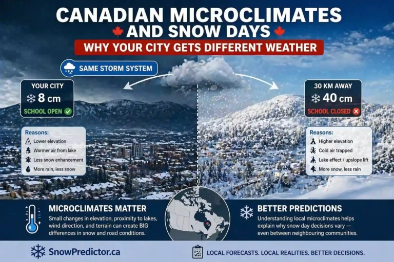
Near the Great Lakes, one highway may experience near-whiteout conditions while a nearby community receives much less snow. This is why weather warnings Canada searches should always be checked against the exact affected area, not just the province name.
Freezing Rain and Freezing Drizzle
Freezing rain falls as liquid and freezes on roads, vehicles, trees and power lines. Freezing drizzle may produce less precipitation but can still create a thin layer of hard-to-see ice.
Bridges, overpasses, shaded roads and untreated surfaces often freeze first. A road may look wet after traction has already deteriorated. Slow down smoothly, avoid cruise control and leave more stopping distance, but do not assume cautious driving makes every journey safe.
Blizzard, Blowing Snow and High Wind
A blizzard warning combines strong wind with falling or blowing snow and prolonged poor visibility. Blowing snow can also reduce visibility when little new snow is falling.
High wind alerts matter because branches, signs and debris may fall onto roads. Strong crosswinds are especially dangerous for school buses, trucks and other high-profile vehicles.
Fog, Rainfall and Flash Freeze
Fog makes distance and speed harder to judge. Use low-beam headlights, reduce speed gradually and increase following distance.
Heavy rainfall can cause hydroplaning, ponding and flash flooding. Never drive through floodwater simply because another vehicle crossed it.
A flash freeze occurs when wet roads or slush freeze quickly as temperatures fall. A driver may leave home on wet pavement and meet black ice later in the same journey.
How to Read an Environment Canada Weather Alert
The headline alone is not enough. Use this five-step process whenever weather alerts Canada results show an active notice.
1. Identify the Hazard
Check whether the notice concerns snow, ice, fog, wind, rainfall, heat or thunderstorms. Each hazard requires a different response.
2. Confirm the Affected Area
Environment Canada weather alerts apply to defined forecast regions, not automatically to an entire province. Check your starting point, destination and the roads between them.
This matters during eastern Canada weather alerts, coastal Canada weather alerts and lake-effect snow. A coastal wind warning may have little effect inland, while a snow squall may affect one part of southern Ontario and miss a nearby community.
People searching for Ontario weather warnings today, northern Ontario weather warnings today or weather alerts Alberta Canada should check the exact forecast region rather than relying on a province-wide headline.
3. Read the Start and End Times
Consider both the outward and return journey. Conditions may be manageable when you leave but dangerous during school dismissal or the evening commute.
4. Focus on Expected Impacts
Look for statements about:
- Hazardous or impossible travel
- Near-zero visibility
- Ice accumulation
- Flash flooding
- Power outages
- Falling branches or debris
- Possible road closures
- Dangerous heat or poor air quality
These impact statements are often more useful than one forecast number.
5. Check the Issue Time
A watch may be upgraded, narrowed, extended or ended. Review the latest version before departure. An old screenshot may no longer describe the current risk.
A Three-Part Safety Check Before Driving
A forecast is only one part of the decision. Before travelling during weather alerts Canada conditions, make three separate checks.
Check the Latest Alert Details
Confirm the hazard, colour, affected region, timing and expected impacts. Do not rely on a social-media screenshot or a notice shared several hours earlier.
Check Current Road Conditions
Review provincial or territorial road reports, traffic cameras and closures. A clear camera image does not cancel a warning; it only shows one location at one moment.
Assess Your Route and Vehicle
Consider untreated rural roads, bridges, steep hills, open farmland, winter-tire condition, vehicle clearance, passenger needs and safe stopping points.
A short drive on treated city streets is not equivalent to a long trip across exposed rural roads.
How Weather Alerts Canada Affect Schools and Buses
Official alerts describe the hazard, but they do not automatically cancel school or transportation. School boards may consider:
- Storm timing
- Snowfall rate and accumulation
- Freezing rain and black ice
- Visibility on rural roads
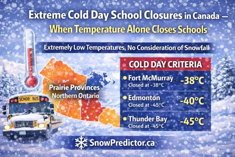
- Wind chill
- Plowing and salting progress
- Conditions expected during dismissal
- Access to school buildings
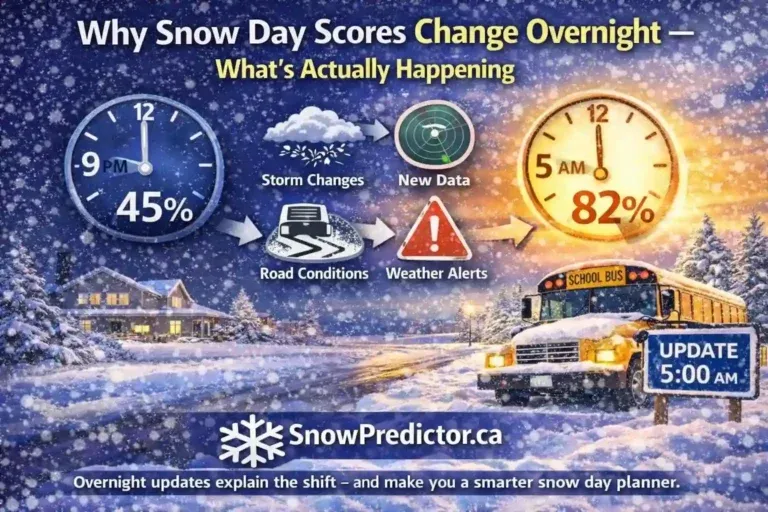
Here is the part parents often miss. A yellow winter storm watch issued at 8 p.m. may become an orange warning overnight because forecast confidence increases and the heaviest snow shifts into the morning bus window. The colour change matters, but the change in timing and road impact may matter even more.
The Canada Snow Day Predictor helps families estimate possible school disruption using winter-weather factors connected with transportation and local conditions. It is a planning tool, not an official closure notice or driving clearance.
Parents can also read how Canadian schools decide on snow days and review how the Snow Day Predictor works before using an estimate.
The roles remain separate:
- Environment and Climate Change Canada issues public weather notices.
- Provincial services report road conditions.
- SnowPredictor.ca estimates school-disruption probability.
- The school board makes the final closure or bus decision.
How to Receive Weather Alerts Canada Notifications
The WeatherCAN app provides Environment Canada weather forecasts, radar and notifications for current and saved locations. People often search for a weather alert app Canada residents can use, and WeatherCAN is the official federal option.
You should also enable local channels that affect your daily plans:
- Provincial road alerts
- Municipal emergency notifications
- School-board notices
- Alert Ready messages
- Employer or fleet alerts
- Utility outage notifications
Social posts may be delayed, incomplete or based on an alert that has already changed. Severe weather alerts Canada information should always be checked against the latest notice.
Frequently Asked Questions
Are There Any Weather Alerts in My Area?
For current weather alerts Canada information, check your exact city or forecast region. Active notices may include warnings, watches, advisories or Special Weather Statements. The answer can change quickly, so check again before leaving home.
What Is the New Weather Warning System in Canada?
Canada added yellow, orange and red impact colours to warnings, advisories and watches on November 26, 2025. The alert type still shows urgency and certainty, while the colour shows how disruptive or dangerous the expected effects may become.
Is Summer 2026 Going to Be Hot in Canada?
Seasonal outlooks can indicate whether temperatures are more likely to be above or below normal across broad regions. They cannot guarantee that every day or every province will experience continuous heat. Check local forecasts for short-term decisions.
What Was the Alert on My Phone Just Now?
The exact alert cannot be identified without the message and your location. It may have been a severe-weather warning, an AMBER Alert or another public emergency. Read the notification text and compare it with current local notices.
Where Can I Find Weather Alerts on an iPhone?
Open the Weather app, select your location and look for an alert banner. To enable notifications, open the location list, choose the menu, select Notifications and turn on severe-weather alerts for the required locations. Government alerts are managed separately in the iPhone notification settings.
One Comment