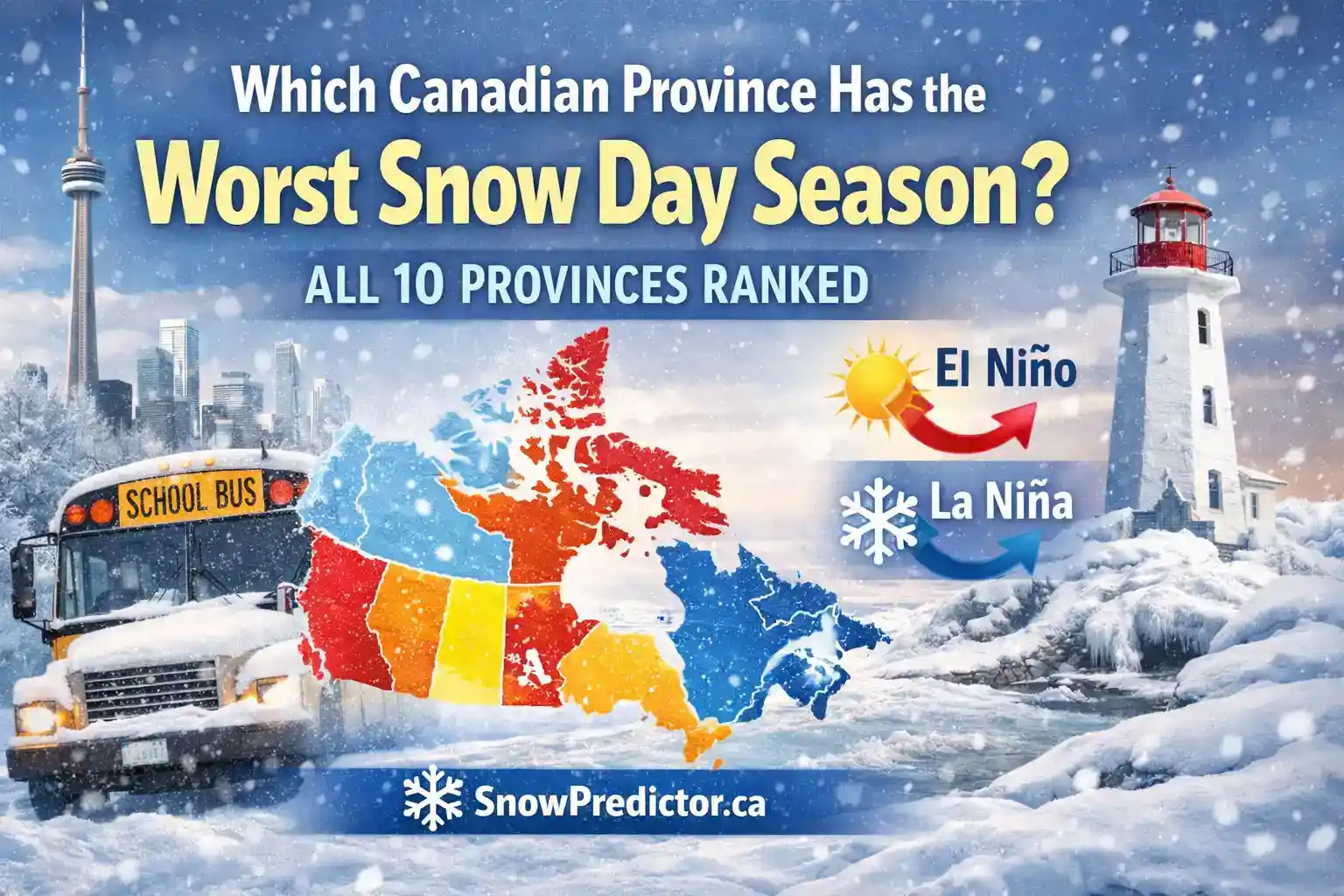
Predicting Canadian Winter Snow Day Seasons: Which Province Is Worst?
Canadian winters are not equal. A storm that barely slows schools in Winnipeg can cancel buses across rural Ontario or close schools throughout Atlantic Canada. Snowfall matters, but it is only one part of the decision. Freezing rain, wind, visibility, road conditions, transportation networks and school board policies also determine whether students stay home.
Predicting Canadian winter snow day seasons therefore requires looking beyond snowfall totals. Climate patterns, regional geography, transportation exposure and local school procedures all affect the likelihood of disruption.
This guide compares the Canadian snow day season across all 10 provinces using estimated annual closure ranges, regional snowfall, common storm tracks and transportation exposure. It also identifies which provinces generally face the greatest winter school disruption.
Predicting Canadian Winter Snow Day Seasons Across 10 Provinces
Canada has no standardized national record of every weather-related school cancellation. These figures are estimates based on climate, transportation exposure and typical board behaviour.
| Rank | Province | Estimated Closures per Year | Primary Driver | Peak Months |
|---|---|---|---|---|
| 1 | Newfoundland and Labrador | 10 to 15 | Atlantic storms, snow and wind | January to March |
| 2 | Nova Scotia | 6 to 12 | Nor’easters and mixed precipitation | January to March |
| 3 | New Brunswick | 6 to 10 | Freezing rain and rural roads | January to February |
| 4 | Prince Edward Island | 5 to 9 | Blowing and drifting snow | January to March |
| 5 | Quebec | 4 to 9 | Heavy snow and freezing rain | December to March |
| 6 | Ontario | 3 to 13 | Lake-effect snow and rural routes | January to February |
| 7 | Manitoba | 3 to 8 | Extreme cold and blowing snow | January to February |
| 8 | Saskatchewan | 3 to 7 | Wind chill and drifting snow | December to February |
| 9 | Alberta | 2 to 7 | Cold and regional variation | December to February |
| 10 | British Columbia | 0 to 8 | Ice, mountain snow and terrain | December to February |
These ranges compare school closures in Canada but are not guaranteed annual totals.
How Canadian Winter Snow Day Seasons Are Predicted
Predicting Canadian winter snow day seasons requires more than comparing how many centimetres of snow each province receives.
Canada school closure rates are unavailable through one national system, so estimates must consider several factors together:
- Average snowfall and winter storm exposure
- Freezing rain and ice risk
- Wind and visibility
- Extreme cold
- Rural versus urban transportation
- Road treatment and snow-clearing capacity
- Local geography
- School board and transportation policies
- Timing of storms during morning and afternoon travel
Two provinces can receive similar snowfall while experiencing very different snow day frequency by province because their transportation networks and storm types differ.
Why Newfoundland and Labrador Ranks First
Newfoundland and Labrador is the province with the most snow days based on estimated closure frequency. Some regions experience approximately 10 to 15 weather-related closures during a typical winter.
Its location places communities in the path of Atlantic storms. Cold northern air frequently meets warmer, moisture-rich ocean air, helping powerful winter systems develop.
Heavy Snowfall in St. John’s
Environment and Climate Change Canada’s 1981 to 2010 climate normals show that St. John’s receives approximately 335 centimetres of snow annually. Measurable snow falls on about 79 days each year.
Typical monthly totals include:
- January: approximately 88.7 centimetres
- February: approximately 71 centimetres
- March: approximately 57.3 centimetres
- December: approximately 63.4 centimetres
Coastal winds create drifting and low visibility. Cleared routes may quickly fill again.
January 2020 Snowmageddon
On January 17, 2020, a record-breaking storm brought St. John’s to a standstill. It caused a state of emergency and widespread road closures. Approximately 380 Canadian Armed Forces members supported recovery efforts.
Clearing the accumulation took several days. Heavy snow, wind and Atlantic storms are important reasons Newfoundland and Labrador ranks near the top when predicting Canadian winter snow day seasons.
Why Nova Scotia Ranks Second
Nova Scotia receives many Atlantic systems that later affect Newfoundland. Its estimated closure frequency ranges from 6 to 12 days, although exposed parts of Cape Breton may experience more.
Mixed Precipitation Creates Multiple Hazards
A storm can begin as snow, change to freezing rain and return to snow. This produces hidden ice, poor visibility, coastal gusts, refreezing, drifting and outages.
Cape Breton Faces Greater Exposure
Sydney receives approximately 230 to 260 centimetres of snow annually. Exposed areas may experience 8 to 13 closures during an active winter.
Halifax usually records fewer because major roads receive faster treatment. The guide to Canadian microclimates and snow days explains why nearby communities can experience different totals.
Why New Brunswick Ranks Third
New Brunswick records an estimated 6 to 10 closures. Atlantic storms, Quebec systems and Bay of Fundy moisture influence its weather.
Many students travel long distances on exposed rural roads that receive slower clearing. Main streets may be safe while outlying routes remain icy, so districts must assess their complete transportation area.
This transportation exposure is one reason snowfall totals alone cannot accurately predict the Canadian snow day season.
Why Prince Edward Island Ranks Fourth
Prince Edward Island experiences an estimated 5 to 9 closures.
Strong winds push loose snow across roads, forming new drifts after plows pass.
Common factors include:
- Blowing snow
- Rural drifting
- Poor visibility
- Coastal winds
- Freezing rain
- Unsafe morning routes
The Canadian snow day season in Prince Edward Island is shaped as much by wind and visibility as by total snowfall.
Why Quebec Ranks Fifth
Quebec’s estimated range is 4 to 9 closures. One figure cannot represent Montreal, Quebec City, the Eastern Townships, Saguenay, Abitibi and northern communities.
Quebec City receives approximately 316 centimetres annually. Montreal receives less but faces freezing rain and repeated freeze-thaw conditions.
French-language service centres and English-language boards make independent decisions. Announcements may include cancelled buses, schools without transportation, delayed openings or activity cancellations.
A bus cancellation does not automatically mean buildings are closed. The guide to school closure policies across Canada explains these differences.
Ontario Has the Greatest Internal Variation
Ontario is one of the most difficult provinces when predicting Canadian winter snow day seasons because winter conditions vary sharply across the province.
Toronto may experience relatively few closures, while snowbelt and northern communities can record considerably more disruption.
Toronto and the Greater Toronto Area
Toronto generally records fewer closures than its snowfall suggests. Dense roads, extensive maintenance, public transit and urban snow-clearing resources help the city operate during moderate storms.
Toronto experiences approximately 3 to 5 full closures in a typical winter, although yearly totals vary.
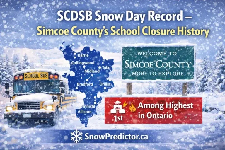
Barrie and Simcoe County
Barrie and Simcoe County face Georgian Bay lake-effect snow. Narrow bands can bury one community while a nearby location sees flurries.
Simcoe County may experience 6 to 10 transportation cancellations because:
- Snow bands move unpredictably
- Rural routes cover long distances
- Visibility changes quickly
- Secondary roads clear slowly
- Drifting continues after snowfall
Northern Ontario
Sudbury, Sault Ste. Marie, North Bay and Thunder Bay experience longer winters. Some communities receive over 300 centimetres annually.
Heavy overnight snow, extreme cold and unsafe rural roads can produce 8 to 12 disruptions. The Ontario Snow Day Predictor provides local estimates instead of treating Ontario as one weather zone.
Manitoba and Saskatchewan Are Cold but Prepared
Manitoba and Saskatchewan are extremely cold, but Prairie communities design roads and transportation procedures around long winters.
Closures become more likely because of:
- Dangerous wind chill
- Blowing snow
- Poor visibility
- Drifting on rural roads
- Bus mechanical concerns
- Unsafe outdoor waiting
Saskatchewan’s open terrain increases drifting. Strong preparation can reduce winter school closures even during a harsh Canadian winter.
This demonstrates why predicting Canadian winter snow day seasons requires considering both weather severity and how well communities are prepared for it.
Alberta’s Weather Changes Rapidly
Alberta records approximately 2 to 7 closures depending on location.
Chinook winds can melt southern Alberta snow quickly before water refreezes. Northern Alberta faces longer cold periods and severe wind chills.
Rural cancellations remain possible, particularly when visibility, cold or drifting creates unsafe transportation conditions.
British Columbia Has the Fewest Closures Overall
British Columbia ranks last because much of its population lives in the mild Lower Mainland. Vancouver may complete winter without a closure.
Coastal British Columbia
Small amounts can disrupt coastal communities because of wet snow, freezing rain, steep roads, refreezing and limited treatment capacity.
Five to 10 centimetres can cause more disruption in Vancouver than a larger snowfall in Winnipeg.
Interior and Northern British Columbia
Interior and northern communities are colder and snowier. Fort St. John receives close to 190 centimetres annually. Some Interior districts experience 3 to 8 disruptions.
British Columbia has the lowest overall frequency but wide coastal and Interior differences.
Why Snowfall Alone Cannot Predict Canadian Snow Day Seasons
Snowfall cannot fully predict whether schools will close. Boards and transportation authorities consider:
- Snowfall amount and rate
- Storm arrival and departure
- Wind and visibility
- Freezing rain and ice
- Wind chill
- Rural road conditions
- Snowplow progress
- Bus route exposure
- Dismissal conditions
A winter-ready city may remain open after 15 centimetres. A coastal community may close after less if freezing rain follows.
The guide explaining how Canadian schools decide on snow days describes route inspections and morning decisions.
How Canadian Winter Weather Affects Snow Day Predictions
Canadian winter weather decisions depend heavily on timing. Fifteen centimetres before 5 AM can create greater school transportation risk than gradual snow beginning after students arrive.
Boards may also consider whether conditions are expected to worsen during dismissal, whether buses can complete afternoon routes and whether power or heating systems could be affected.
These variables make predicting Canadian winter snow day seasons more complicated than simply ranking provinces by snowfall.
El Niño Canadian Winter Effects
An El Niño Canadian winter often brings milder conditions to western and central Canada. Some areas receive less snow, while others experience rain near freezing.
Milder temperatures do not guarantee safer roads. Freezing rain can be more dangerous than dry snow.
El Niño influences seasonal probability but cannot determine whether one school board will close on a particular morning.
La Niña Canadian Winter Effects
A La Niña Canadian winter can support colder western conditions and more snow opportunities. It may produce more Prairie cold events, lake-effect snow, lasting snow cover and transportation disruption.
However, seasonal climate patterns provide background context. Short-range forecasts and current road conditions remain more useful for an individual school closure decision.
How to Check Your Local Snow Day Risk
National rankings help explain broad patterns, but people searching for snow day prediction Canada usually need a local answer.
- Open the SnowPredictor prediction tool.
- Enter your city.
- Review the displayed probability.
- Check snow, wind, temperature and timing.
- Visit the transportation provider.
- Confirm through the official school board.
Most announcements appear before 7:00 AM. SnowPredictor.ca provides an independent estimate and does not replace official instructions.
For prediction feedback, use the contact page or email snowpredictorca@gmail.com. Winter messages are reviewed within 48 hours.
Final Verdict on Predicting Canadian Winter Snow Day Seasons
When predicting Canadian winter snow day seasons, Newfoundland and Labrador has the highest estimated closure frequency, followed by Nova Scotia and New Brunswick. British Columbia has the fewest overall, while Ontario shows the widest internal variation.
The Canadian snow day season is not controlled by snowfall alone. Geography determines the hazard, infrastructure shapes the response and local authorities decide whether transportation and schools can operate safely.
National rankings are useful for comparison, but local weather conditions and official board decisions remain the most important factors for families.
Frequently Asked Questions
Which Province Has the Worst Canadian Snow Day Season?
Newfoundland and Labrador leads with an estimated 10 to 15 closures in some regions because of Atlantic storms, heavy snow, wind and poor visibility.
Which Province Has the Fewest School Closures?
British Columbia has the lowest overall frequency because most residents live near the milder coast. Interior districts experience more disruptions.
Does More Snow Always Cause More Closures?
No. Boards also consider ice, visibility, wind chill, timing, roads and bus safety. Prepared cities can remain open during significant snow.
Why Does Ontario Have Such a Wide Range?
Toronto has extensive urban resources, Barrie faces lake-effect snow and Northern Ontario has longer winters and rural routes. As a result, snow day risk can differ substantially across the province.
Can Buses Be Cancelled While Schools Stay Open?
Yes. Unsafe bus routes can cancel transportation while buildings remain open. Check transportation and school-board announcements separately.