Snow Day Warning Signs Canada: What Parents Should Check the Night Before
Canadian parents rarely receive a message saying tomorrow will be a snow day. Instead, they must combine alerts, storm timing, roads and school-board procedures. Heavy snow may cause normal operations after early clearing, while lighter snow over ice may cancel buses. This guide explains the most useful snow day warning signs and how families can prepare without treating a forecast as a confirmed closure. The Canada Snow Day Predictor supports planning, while weather, transportation and board notices remain final.
How Families Should Read a Snow Day Warning
There is no official Canadian weather alert called a snow day warning. Environment and Climate Change Canada issues Warnings, Advisories and Watches for hazards such as snowfall, snow squalls, winter storms, blizzards, freezing rain, freezing drizzle, flash freezes and extreme cold.
School boards and transportation providers then decide whether buses, classes, programmes or buildings will be affected. The strongest school closure warning signs are a high-impact winter alert, snow or ice during the morning commute, worsening roads, poor visibility, dangerous wind chill, limited plowing time and hazardous afternoon conditions.
Parents should treat these signals as reasons to prepare, not proof that school will close.
| Question | Practical Answer |
|---|---|
| Does one weather alert confirm a snow day? | No. School boards and transportation providers decide separately. |
| Are buses and schools always cancelled together? | No. Transportation may stop while buildings remain open. |
| Can light precipitation cause disruption? | Yes. Freezing rain, drizzle or a flash freeze can make roads unsafe. |
| What should parents check? | Alerts, roads, bus notices, board updates and the full-day forecast. |
1. A Winter Weather Alert Covers the Route
The first snow day warning is an official alert affecting the home, school or complete travel route. Common winter messages include:
| Weather Message | Main Concern for School Travel |
|---|---|
| Snowfall alert | Significant accumulation and difficult travel |
| Snow squall alert | Sudden heavy snow and sharply reduced visibility |
| Winter storm warning Canada | Several serious hazards occurring together |
| Blizzard alert | Strong wind with widespread blowing or falling snow |
| Freezing rain alert | Ice accumulation on roads, trees and power lines |
| Freezing drizzle advisory | Thin, difficult-to-see glaze on roads and walkways |
| Flash-freeze alert | Wet surfaces freezing rapidly after a temperature drop |
| Cold Warning | Dangerous cold and wind-chill exposure |
Winter weather alerts Canada use different names because each hazard creates different risks. An alert does not automatically cancel buses or close schools. Read the full message for area, timing and impacts.
The Canadian weather alerts guide explains how Warnings, Advisories, Watches and statements differ.
2. The Alert Is Orange or Red
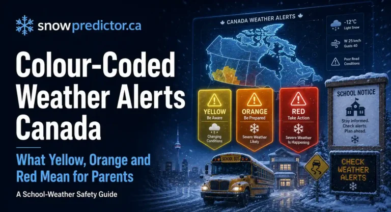
Canada’s formal Warnings, Advisories and Watches use yellow, orange and red colours to show increasing potential impact.
Yellow usually indicates moderate, localised or shorter-term effects. Orange signals major, widespread or longer-lasting disruption. Red identifies extreme, widespread and potentially life-threatening effects.
Orange or red is a stronger planning signal because major disruption becomes more likely. The colour still does not decide school operations. Yellow can also make a rural road, bridge or hill unsafe.
Read the alert type, colour, hazard and expected impacts together rather than relying on colour alone.
3. Snow Is Expected During the Morning Decision Window
Storm timing can matter as much as accumulation. Snow ending before midnight gives crews time to clear routes. The same amount beginning around 4 or 5 a.m. may cover roads while transportation teams are completing inspections.
Early snow becomes more concerning when it:
- Intensifies between approximately 4 a.m. and 7 a.m.
- Continues through the normal bus-departure period
- Falls faster than plows can maintain routes
- Repeatedly covers treated pavement
- Is expected to worsen after an initial road check
- Hides ice beneath fresh accumulation
The next several hours matter. A normal-looking road at midnight may be unsafe by bus time.
The morning snowfall school closures guide explains why timing near departure can increase snow day chances.
4. Snowfall Rates Are Increasing
A forecast total does not show how quickly snow will fall. Ten centimetres spread across twelve hours may be easier to manage than five centimetres falling in two hours.
Rapid accumulation can cover plowed roads, hide lane markings and reduce traction and visibility. Look for wording such as:
- Heavy at times
- Rapidly accumulating snow
- Snowfall rates increasing
- Difficult or hazardous travel
- Visibility suddenly reduced
- Roads becoming snow-covered
A snowfall warning is more disruptive when the heaviest period overlaps with route inspections. Read the hourly forecast, not only a daily icon.
5. Freezing Rain, Drizzle or a Flash Freeze Is Forecast
Ice is one of the strongest snow day warning signs Canada families should notice because it can make roads unsafe with little visible snow.
A freezing-rain warning may indicate heavier buildup. Freezing drizzle leaves a thin glaze, while a flash-freeze warning signals that wet surfaces may freeze quickly.
Ice is especially dangerous on:
- Bridges and overpasses
- Hills and curves
- Shaded roads
- Rural and secondary routes
- School entrances and bus loops
- Sidewalks, stairs and bus stops
Rain changing to snow can leave ice beneath fresh accumulation, creating more risk than the snowfall total suggests.
The freezing drizzle advisory guide explains why light precipitation can still cause school-bus cancellations.
6. Strong Wind or Blowing Snow Is Expected
Wind can increase closure risk by reducing visibility and creating drifting after roads have been plowed.
Open rural roads may deteriorate faster than sheltered city streets. Wind can push loose snow across routes, hide lane edges and make it difficult to see stopped vehicles or pedestrians.
A blizzard or blowing-snow alert deserves attention because visibility may become the main hazard. Transportation can stop even with little new snow.
Parents should check wind speed, gusts, visibility and references to drifting, not only accumulation.
7. Temperatures Are Crossing the Freezing Point
The temperature trend can reveal risks that a snowfall forecast misses. Watch for:
- Daytime melting followed by an overnight freeze
- Rain changing to snow as temperatures fall
- Wet pavement freezing before dawn
- Snow beginning on already icy roads
- Temperatures hovering near 0°C
- Rapid cooling near dismissal
Road-surface temperature can differ from air temperature. Bridges and shaded pavement may freeze earlier. Light snow after evening rain can be more disruptive than heavier dry snow.
The black ice and school closures guide explains why clear-looking pavement may still be dangerous.
8. Wind Chill Creates Unsafe Outdoor Exposure
Extreme cold does not always close a heated school, but it can affect transportation, bus-stop waiting, walking routes and outdoor activities.
Concern rises when children wait for delayed buses or use exposed stops. Boards may cancel transportation while buildings stay open.
There is no single Canada-wide temperature that guarantees a closure. Local climate, route length, bus reliability, building conditions, clothing and student needs all influence the decision.
Check air temperature, wind chill and expected outdoor time.
9. Road Reports Are Getting Worse
Forecasts describe what may happen. Road reports show current travel conditions.
Useful warning signs include:
- Roads reported as snow-covered or icy
- Visibility listed as poor
- Collisions or closures increasing
- Plows not yet reaching secondary roads
- Bridges and rural roads deteriorating
- Travel advisories asking drivers to delay trips
- Roads becoming covered again after plowing
A clear main street does not prove the full route is safe. Elevation, open farmland and treatment schedules create local differences.
Check the provincial or territorial traveller-information service, then compare it with local transportation updates.
The winter road conditions and school closures guide explains why roads often matter more than one snowfall total.
10. The Afternoon Forecast Is Worse Than the Morning
Transportation providers must consider whether buses can bring students home safely, not only whether they can complete the morning trip.
Heavy snow, freezing rain, falling temperatures or stronger wind near dismissal can increase cancellation risk even when the morning looks manageable.
A route that looks acceptable at 7 a.m. may still receive an all-day cancellation. Check the peak and end time.
A worsening afternoon outlook is a major snow day warning because boards cannot assume the return journey will remain safe.
11. Buses May Be Cancelled While Schools Stay Open
Transportation cancellation and school closure are separate decisions. School-bus cancellations can affect selected routes, one service area or an entire system while buildings remain open.
Possible outcomes include:
- Normal buses and normal school operations
- Selected route or service-area cancellations
- All buses cancelled while schools remain open
- Delayed opening
- Individual building closures
- Board-wide closure
- Normal morning operations followed by afternoon changes
Check both sources: transportation confirms buses, while the board confirms buildings and programmes.
The bus cancelled but school open guide explains what families should consider before arranging private travel.
What Parents Should Check the Night Before
Use a consistent order.
Read the Complete Official Alert
Confirm the hazard, alert type, colour, affected area, timing, expected impact and recommended action.
Review the Hourly Forecast
Check when precipitation begins, peaks and changes between rain, ice and snow.
Check the Temperature Trend
Identify any crossing below freezing, rapid drop or likely overnight refreeze.
Review Wind and Visibility
Look for blowing snow, strong gusts, whiteout language or reduced visibility during the commute.
Check the Afternoon Period
Confirm whether conditions improve after sunrise or worsen before dismissal.
Review Board Procedures
Know where and when school closure updates normally appear.
Prepare a Backup Plan
Arrange childcare, remote-work options, pickup responsibilities and a plan for transportation cancellation while school remains open.
A Practical Night-Before Checklist
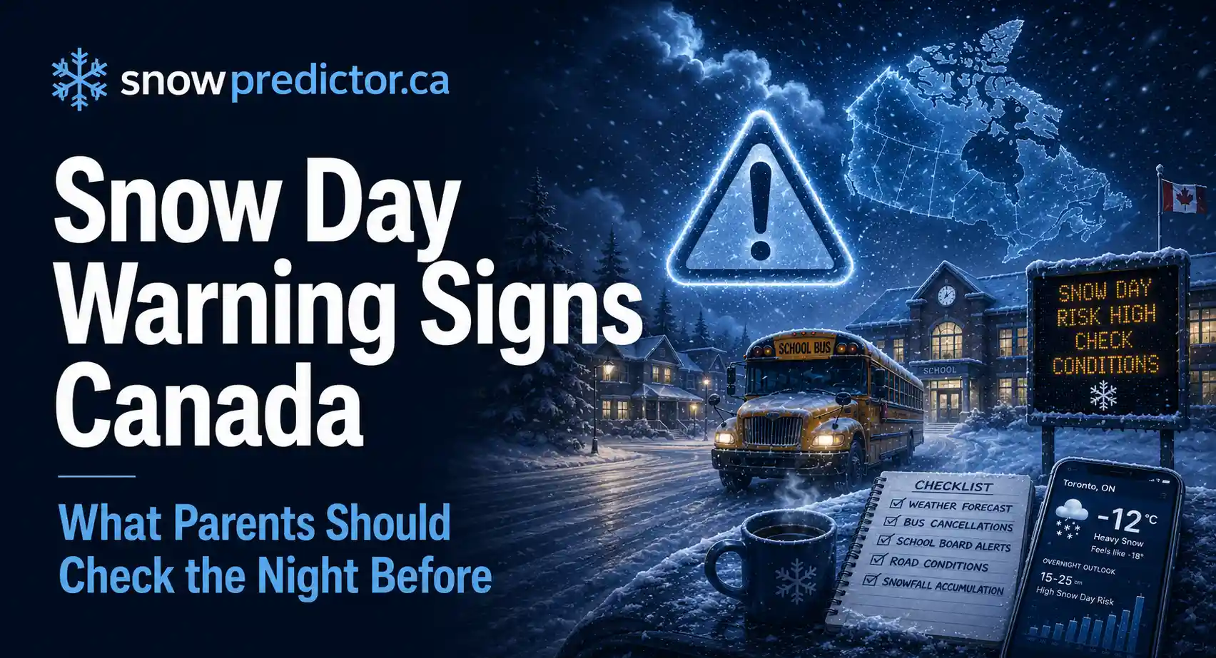
Before going to bed, confirm:
- Home and school locations are saved in the official weather app
- The transportation route or weather zone is known
- Board email, text or app alerts are active
- Phones and power banks are charged
- Winter clothing and footwear are ready
- Medication and school essentials are prepared
- A backup caregiver or pickup plan is available
- The vehicle has fuel and winter supplies
- The alarm is set early enough to check official decisions
This snow day warning routine supports preparation.
How SnowPredictor.ca Supports Early Planning
The Canada school-closure probability tool can provide a location-based snow-day prediction before official decisions are posted.
Compare the estimate with alerts, timing, roads, transportation notices and board procedures.
The tool does not issue closures or declare roads safe. Use its probability for planning, not as a decision.
When a snow day warning appears likely, recheck official sources shortly before departure because conditions and decisions can change overnight.
Frequently Asked Questions
Is It Going to Snow in Vancouver, BC This Winter?
Vancouver will probably receive some snow during a typical winter, but exact dates and totals cannot be predicted months ahead. The city usually has mild, wet winters, and sea-level snow is often brief. Higher parts of Metro Vancouver have a better chance of accumulation. Use seven-day forecasts when a possible event is closer.
Is There a Freeze Warning in Toronto?
That depends on the current alert and season. Freeze and frost warnings generally protect plants during the growing season, while freezing rain, drizzle and flash-freeze alerts describe winter travel hazards. Check Toronto’s latest official alert.
Which Province Has the Worst Weather in Canada?
There is no objective “worst” province because the answer depends on the hazard. Manitoba is a strong candidate for prolonged cold and prairie storms. Newfoundland and Labrador has strong winds, heavy precipitation and Atlantic storms. Northern Canada is colder overall, but its three northern regions are territories.
Is Victoria, BC Going to Get Snow This Winter?
Victoria can receive snow, but long-range forecasts cannot confirm exact events months ahead. It has one of Canada’s mildest winter climates. Some winters bring several events; others bring almost none. Check local forecasts when a potential storm enters the seven-day range.
Has Victoria Ever Had a Winter Without Snow?
Yes. Victoria has experienced winters with no measurable snow or almost none. Its coastal climate makes snowfall less frequent, and snow often melts quickly. Major storms can still occur, so low average snowfall does not remove travel risk.